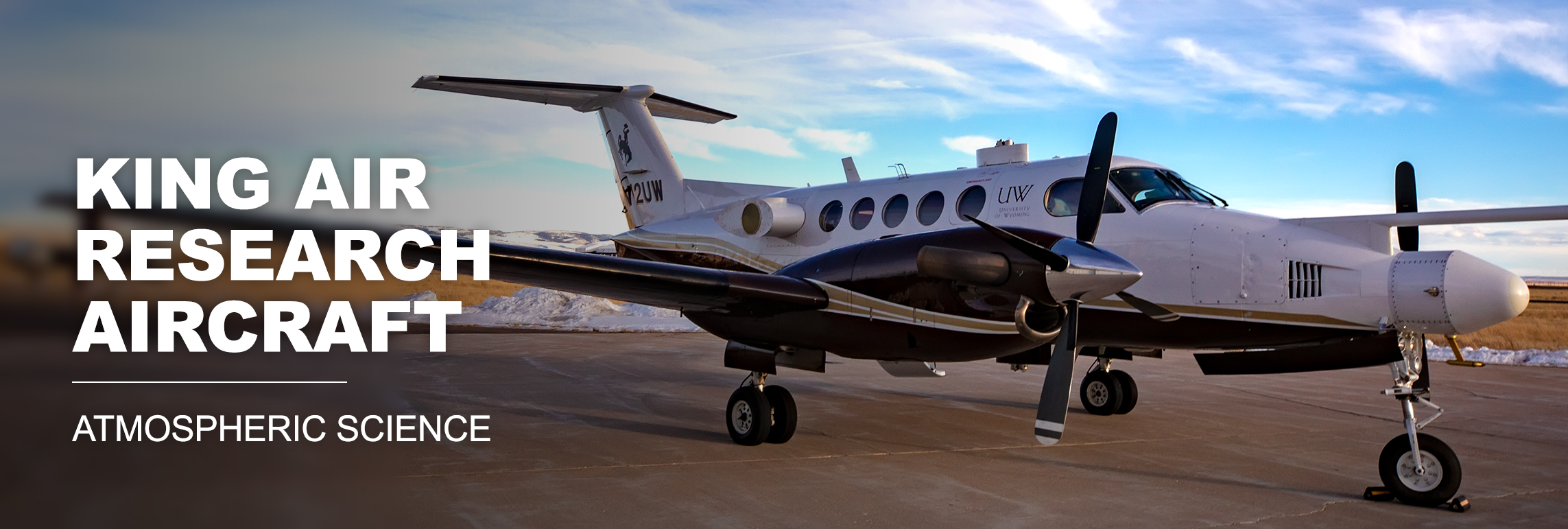
Data from past UWyo King Air projects
Data request forms for recent projects are listed below. Click here for a list of project-specific webpages providing summary information including detailed
flight notes. Unless otherwise noted, processed UWKA flight level data in netcdf format.
For data requests from older projects or additional information, please email the UWKA project management group.
Jump to year:
Click here for a comprehensive list of publications related to deployments of the UWKA and the
Wyoming Cloud Radar and Lidars, and here for a list of theses and dissertations using facility measurements
2022
2021
- TRANS2Am 21 : Transport and Transformation of Ammonia
- DILBERT 21 : Deployable Instruments - Laramie Based - Research Test flights
2020
- DILBERT 20 : Deployable Instruments - Laramie Based - Research Test flights
- HCPI 20 : Radiation Monitoring Devices, Inc.'s Holographic Cloud Particle Imager test flights
- FLUX 20 : Test measurements using a 10 Hz CO2/CH4 Picarro gas analyzer
2019
- APART-LITE 19 : Test flights for Ammonia Phase Partitioning and Transport
- CHEESEHEAD 19 : Chequamegon Heterogeneous Ecosystem Energy-balance Study Enabled by a High-density
Extensive Array of Detectors
- APEX 19 : The All-Phase Water Probe Experiment
- TECPEC 19 : Terrain Effect on Clouds and Precipitation - an Educational Campaign
2018
- BB-FLUX 18 : Biomass Burning Fluxes
- TEST 18 : Internal instrument development and testing
2017
- SNOWIE 17 : Seeded and Natural Orographic Wintertime clouds—the Idaho Experiment
- SEAR-MAR 17 : Multi-institutional Collaborative Student Experience in Airborne Research in the
Mid-Atlantic Region
- Nov 4 - Nov 18 in Lancaster, PA
- PI: Richard Clark, Co-Investigators: Paul Markowski, Ken Davis, Mark Miller, Belay Demoz, Zhibo Zhang, Todd Sikora, Brian Billings
- Sampling atmospheric phenomena in the mid-Atlantic region, with a focus on student
involvement in association with Millersville University, Pennsylvania State University,
Rutgers, and the University of Maryland, Baltimore County.
- King Air processed flight level data: 1 Hz; 25 Hz
- Wyoming Cloud Lidar data: Zenith lidar; Nadir lidar
- Picarro: Methane measurements
- PDF archive of UWKA facility project webpage
2016
- MARLi 16 : Multi-function Airborne Raman Lidar Testing Experiment
- RadFIRE 16 : Rapid-Deployments to Wildfires Campaign
- PACMICE 16 : Precipitation and Cloud Measurements for Instrument Characterization and Evaluation
2015
- PECAN 15 : Plains Elevated Convection at Night
2014
- START 14 : Student Training in Airborne Research and Technology
2013
- OWLES 13 : Ontario Winter Lake-effect Systems
- COPE-MED 13 : Convective Precipitation Experiment - Microphysics and Entrainment Dependencies
- ASCII 13 : AgI Seeding of Clouds Impact Investigation
2012
- IDEAS 12 : Instrument Development and Education in Airborne Science
- PREAMBLE 12 : Precision Atmospheric Marine Boundary Layer Experiment
- ASCII 12 : AgI Seeding of Clouds Impact Investigation
2011
- DOMEX 11 : The Dominica Experiment
- Apr 4 - May 8 in Fort-De-France, Martinique
- PIs: Ron Smith
- Understand the physics of convective initiation and precipitation in a simple steady
tropical environment.
- King Air processed flight level data: 1 Hz; 25 Hz
- Cloud Imaging Probe: 2D imagery
- CAMPS 11 : Colorado Airborne Multi-phase Cloud Study
2010
- LPVEX 10 : Light Precipitation Validation Experiment
- KAPEE 10 : King Air PBL Exploratory Experiment
2009
- ISPA 09 : Inhibition of Snowfall by Pollution Aerosols
- ASP 09 : Advanced Study Program
- June in JeffCo airport, NCAR
- Four flights/2 days in support of ASP Summer Colloquium. Projects led by advanced
graduate students, utilizing multiple NSF observing facilities, including UWKA.
- King Air processed flight level data: 1 Hz; 25 Hz
- Cloud Imaging Probe: 2D imagery
- PDF archive of UWKA facility project webpage
- WWDC 09 : Wyoming Water Development Commission (Experiment)
- WAICO 09 : Wyoming Airborne Integrated Cloud Observations (Experiment)
- Feb - Apr in Laramie, WY
- PI: Zhien Wang
- Continuation of WWDC 08. Test and demonstrate the capability of new remote sensing
tools for the UWKA. This project centers around the upward Wyoming Cloud Lidar (WCL-I),
a new (downward-pointing) cloud lidar (WCL-II), and the Wyoming Cloud Radar (WCR).
- King Air processed flight level data: 1 Hz; 25 Hz
- PDF archive of UWKA facility project webpage
2008
- CLDGPS 08 : Measurement of Cloud Perturbation Pressures using Differential GPS
- May - Jun in Laramie, WY
- PIs: Tom Parish, Dave Leon
- Use measures of basic state variables combined with Differential GPS to investigate
pressure perturbations around actively growing cumulus clouds. The perturbations will
be tied to the cloud kinematics through measurements from in-situ probes and airborne
Doppler radar (WCR).
- King Air processed flight level data: 1 Hz; 10 Hz; 25 Hz
- PDF archive of UWKA facility project webpage
- WWDC 08 : Wyoming Water Development Commission (Experiment)
- WAICO 08 : Wyoming Airborne Integrated Cloud Observations (Experiment)
- Feb - Mar in Laramie, WY
- PI: Zhien Wang
- Test and demonstrate the capability of new remote sensing tools for the UWKA. This
project centers around the new Wyoming Cloud Lidar (WCL), a new microwave radiometer
built by Prosensing, and the Wyoming Cloud Radar (WCR).
- King Air processed flight level data: 1 Hz; 25 Hz
- PDF archive of UWKA facility project webpage
2007
- ACME 07 : Airborne Carbon in the Mountains Experiment
2006
- COWVEX 06 : Cloudsat Over Wyoming Validation EXperiment
- CuPIDO 06 : Cumulus Photogrammetric, In-Situ and Doppler Observations
- DMIMS 06 : Dynamics and Microphysics in Marine Stratocumulus
- TREX 06 : Terrain-Induced Rotor Experiment
- NASA 06 :
2005
- CONE 05 :
- October in Laramie, WY
- PIs: Al Rodi
- Test and verification of static pressure measurment on N2UW using "static cone"
2004

