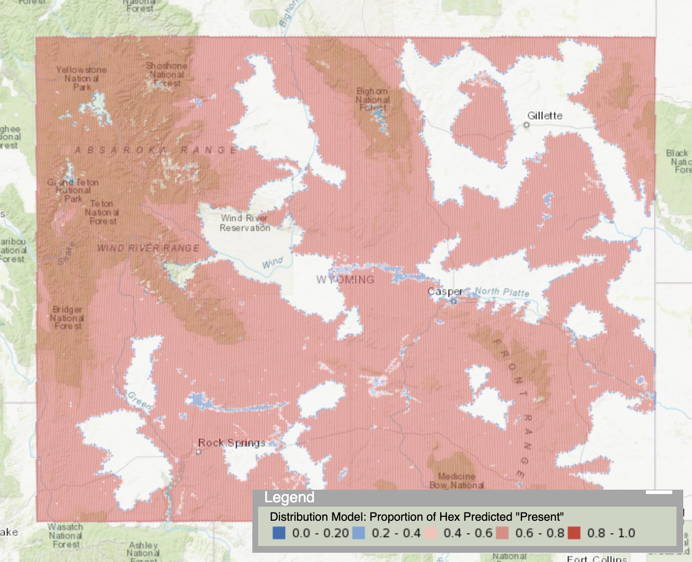

Explore spatial data on Wyoming species and habitats, including observations, range maps, and distribution models.
VIEW »Looking to download spatial data, such as distribution models, from WYNDD? Our Species List application provides download links for range maps, predictive distribution models, and generalized observations.
DOWNLOAD DATA »Predictive Distribution Models represent predictions of where a taxon might occur, based on the similarity in environmental characteristics of an area to that found at points of known occurrence for the taxon. The environmental gradients used to predict distribution generally include climate, land cover, topography, substrate, and hydrology. WYNDD distribution models are generally clipped so as to provide predictions for presence or absence of the taxon within the taxon's accepted range.
Predictive distribution models are intended to provide an estimate of occupation by taxa; they are not a map of actual occupation by the taxa. As such, they are suitable for planning at the statewide scale, but should be supplemented by field surveys to verify whether taxon of interest are present when project-level determinations are being made.
Both range and distribution models can be explored online or downloaded here to download range or distribution data, or send questions to WYNDDGIS@uwyo.edu.
