|
Environmental Remote Sensing Research Department of Botany | WyGISC University of Wyoming |
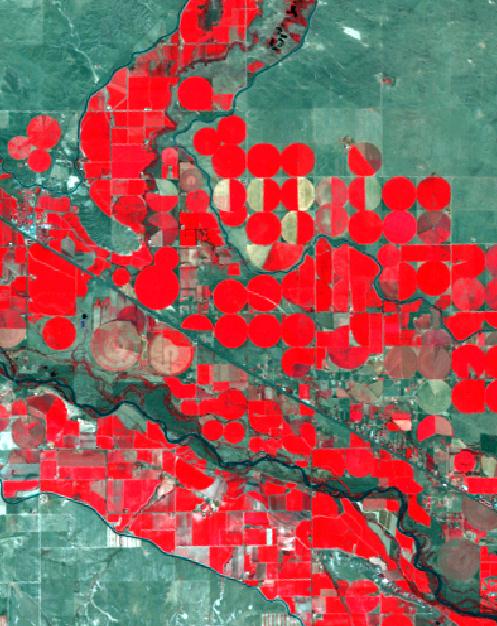
Lingle & Torrington, Wyoming (Landsat TM5 - 2006 - bands432) |
||
|---|---|---|---|
|
Ramesh Sivanpillai PhD, GISP Research Scientist - Senior E: sivan@uwyo.edu P: 1-307-766-2721 ORCID ID: 0000-0003-3547-9464 Researcher ID: A-7242-2009 ResearchGate: |
|||
|
I'm a faculty member in the Botany Department and the Wyoming Geographic Information Science Center (WyGISC). I'm an adjunct faculty in the Department of Ecosystem Science & Management (ESM) and the Science & Math Teaching Center (SMTC).
Courses taught
Remote Sensing for Agricultural Management
This course address the principles and applications of remote sensing to crop and rangeland management. Provides an overview of remote sensing concepts and applications pertaining to crops, shrubs and range vegetation. In laboratory, students will learn to process remotely sensed data for mapping and monitoring crop and rangelands.
Highlights from all remote sensing courses, including student reports, can be found in this blog site.
Environmental Sciences
The primary goal of this course is to use complex, real-world environmental challenges as the portal through which to explore fundamental scientific principles. Students will learn how scientists tackle environmental issues by gathering, manipulating and presenting scientific data, as well as to critically evaluate information sources. This course will explore the limitations to scientific approaches due to constraints associated with each study.
Highlights from the environmental sciences courses can be found in this blog site.
Updated by Ramesh Sivanpillai on Oct 10, 2016 |