
Research
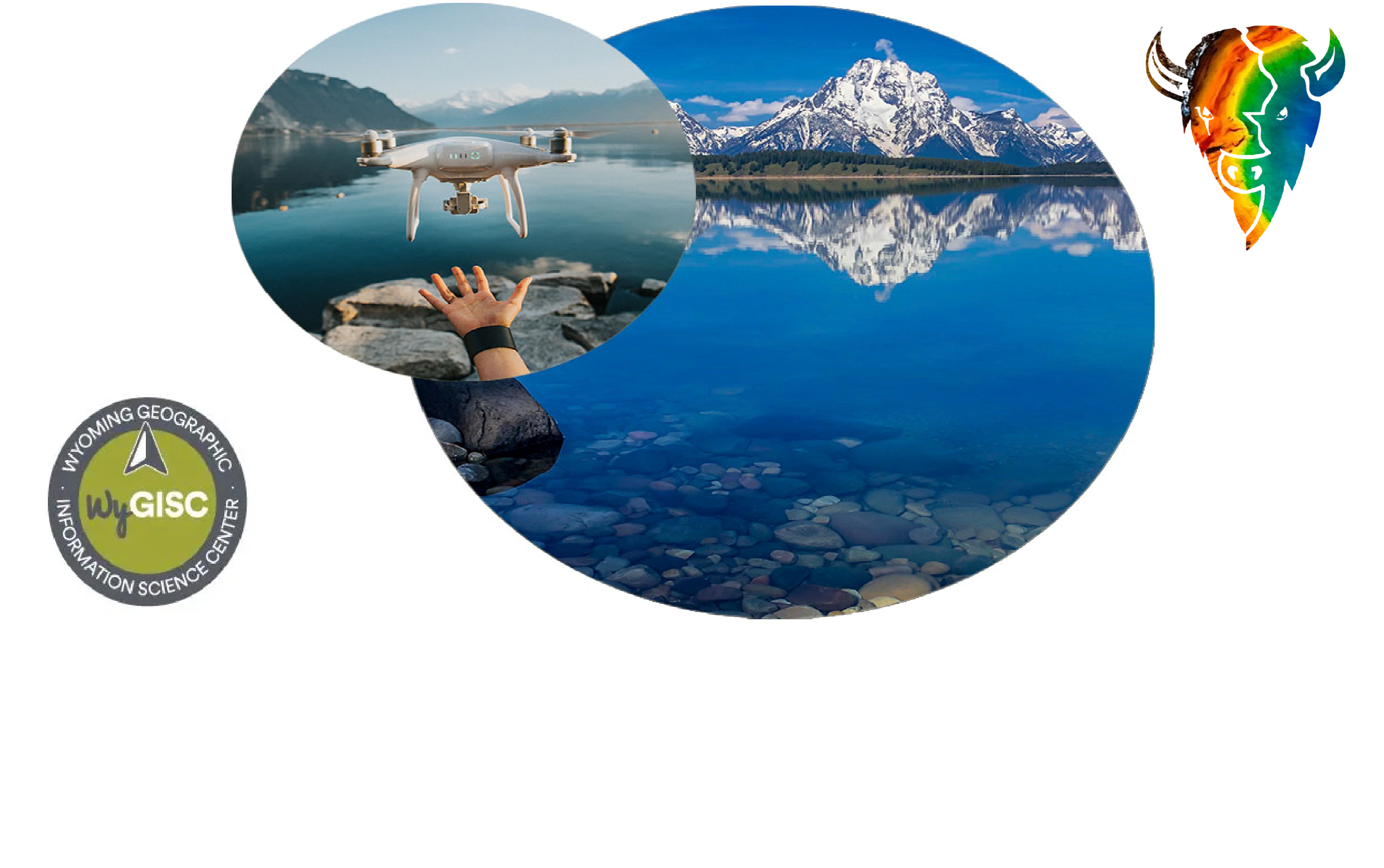
Presummit: Geospatial Community Forum
WIP Data Initiative
Published November 12, 2025
6 Minute Read
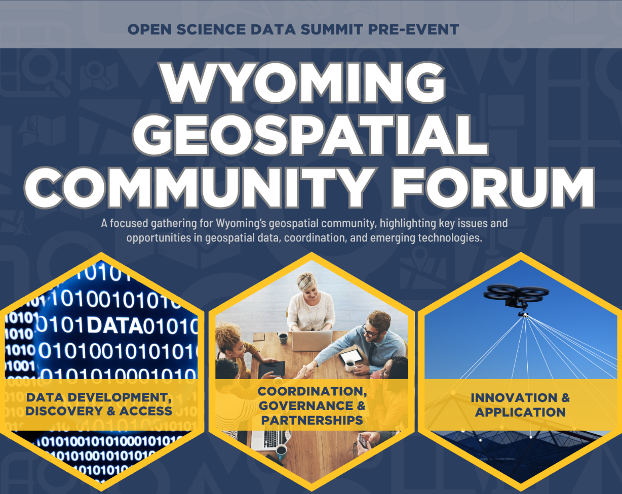

Agenda
Held at the UW Conference Center
Connected to the Hilton Garden Inn off 22nd & Grand. Click here for directions
***PLEASE NOTE: AGENDA IS TENTATIVE AND SUBJECT TO CHANGE***
| Go to Open Science Data Summit | Home Page | Go to Tuesday's Summit Schedule | Go to Wednesday's Summit Schedule |
| Time | Agenda Item | Speaker(s) | Description | Moderator(s) | |||||
| 8:00AM - 9:00AM | Working Breakfast | A working breakfast to network, independently discuss issues and topics of interest, and prepare for the day. | |||||||
| 9:00AM - 9:30AM | Intro & Opening Remarks |
|
Nicholas Case President of Wyoming Geospatial Organization (WYGEO) Assistant Lecturer UW School of Computing | Geospatial Information Sciences & Technology Dr. Jeff Hamerlinck Director of UW Wyoming Geographic Information Science Center (WYGISC) Associate Director of the UW School of Computing |
Opening remarks for the Geospatial Community Forum and a goal for the overall day. | |||||
| 9:30AM - 10:30AM | Public Private Partnership in Action: Alberta Data Partnerships |
|
Erik Holmund |
Beginning in 1997, ADP is a non-profit company established to assume responsibilities for digital mapping in Alberta Canada on behalf of the provincial government. This concept grew from a strong push from the Government of Alberta to provide more efficient and cost effective services they believed could be scaled and accomplished more efficiently through partnerships with the private sector. ADP provides long-term management of comprehensive digital data sets for a wide number of collective stakeholders. Find out how it was accomplished, how it's going, and lessons learned. |
Associate Director of the School of Computing, UW
|
||||
| 10:30AM - 11:00AM | Break |
|
|
||||||
| 11:00AM - 12:00PM | Kansas Approach to GIS Governance |
|
Eileen Battles Data Access & Support Center Manager Kansas Geological Survey University of Kansas Kenneth A. Nelson Assoc. Director for GIS & IT Geographic Information Officer DASC Director Kansas Geological Survey University of Kansas |
An overview of the Kansas State GIS program, emphasis on the unique relationship between Kansas Geological Survey, University of Kansas, and state and local government. Followed by a walkthrough covering specific clearinghouse initiatives, projects and programs. | Heidi Martin Senior Enterprise State GIS Coordinator Geographic Information Office, State of Wy |
||||
| 12:00PM - 1:00PM | Working Lunch |  |
Remarks from Jim Geringer Governor State of Wyoming (1995-2003) |
||||||
| 1:00PM - 1:45PM | Innovation: AgTerra |  |
Alan Telck President AgTerra Technologies |
Innovation and precision within agriculture technology | Dr. Jake Hawes Assistant Professor School of Computing | Haub School, UW |
||||
| 1:45PM - 3:45PM | Breakout Groups on Issue Discussions |  |
Presummit Participants | Facilitated, rotating breakout discussions organized around participant-ranked geospatial data priorities. Attendees will engage in structured discussions focused on identifying challenges, opportunities, and actionable next steps. Discussion outputs will be synthesized and brought back to the full group to inform prioritization and recommendations. |
WYGISC & WYGEO Members
|
||||
| 3:45PM - 4:00PM | Break | ||||||||
| 4:00PM - 4:30PM | All Attendee Discussion & Prioritization | |
Presummit Participants | Facilitated full-group discussion to review synthesized breakout outcomes, surface additional input, and prioritize recommended actions and next steps. Results will inform post-event recommendations and future coordination efforts. | Nicholas Case President of Wyoming Geospatial Organization (WYGEO) Assistant Lecturer UW School of Computing | Geospatial Information Sciences & Technology |
||||
| 4:30PM - 5:00PM | Closing Remarks: Summary & Recommendations |  |
Dr. Jeff Hamerlinck Director of UW Wyoming Geographic Information Science Center Associate Director of the UW School of Computing |
Summarizing events, discussions, takeaways from working groups, and the goal: Providing recommendations to remove roadblocks and implement solutions. | |||||
| 5:30PM - 7:30PM | Evening Reception | Networking & Reception Altitude Chophouse & Brewery https://www.altitudechophouse.com/ 320 S. 2nd St., Laramie WY |
|||||||


The University of Wyoming has earned its Research Level 1 (R1) status from the Carnegie Classification of Institutions of Higher Education, placing Wyoming's only four-year university with the top research universities in the United States.