
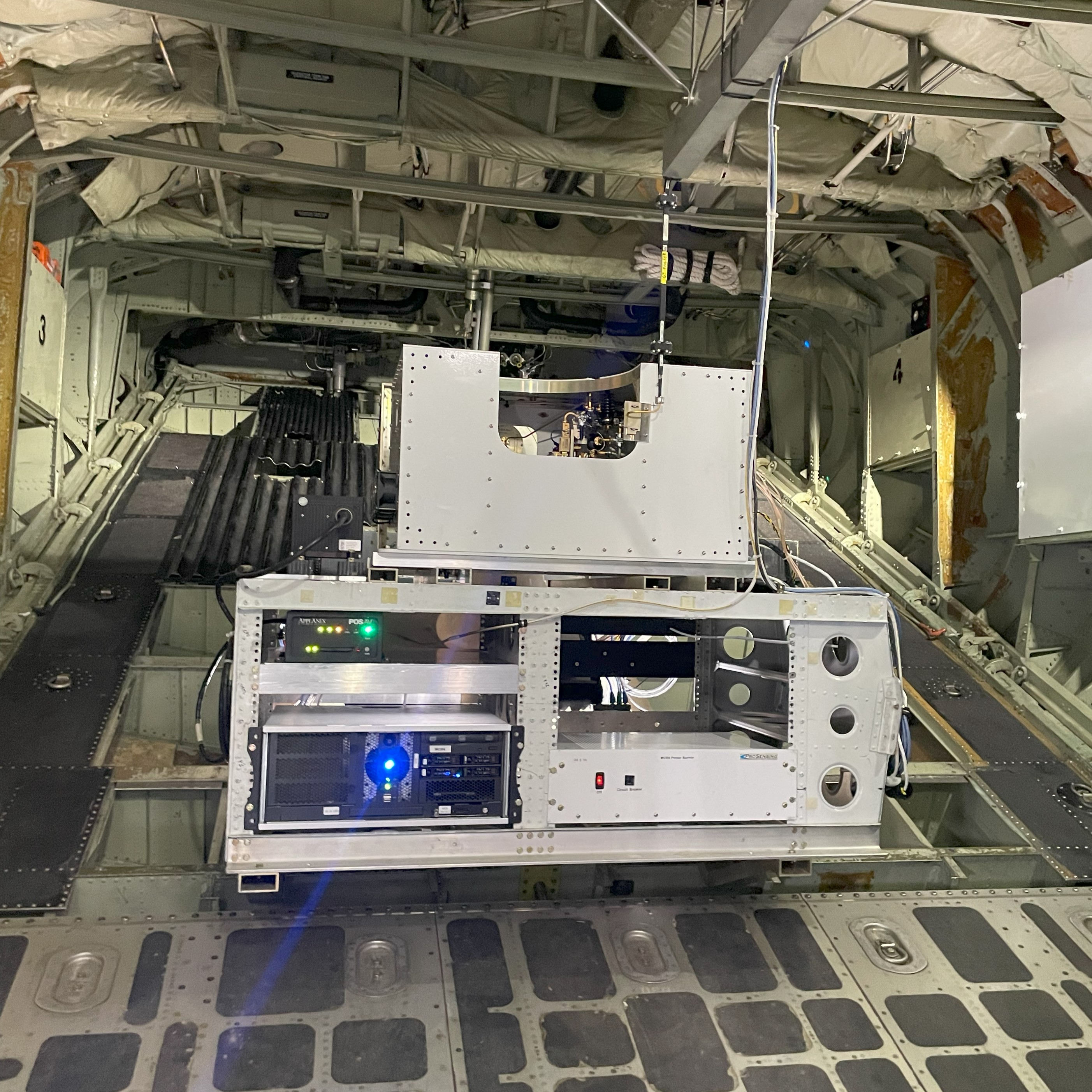
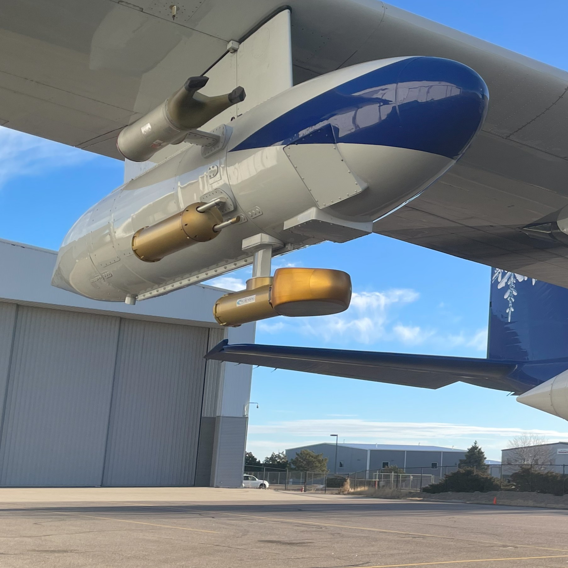
WCR Quicklooks

Level - 2 Quicklooks
L2 quicklooks show data from the L2 "up-down" CfRadial files. This data is projected (interpolated) into a vertical plane using a regular grid with dimensions of time and altitude (above MSL). A top axis indicates ground-relative distance. L2 products are averaged using an integer number of profiles and range gates then thresholded to remove most of the noise.
Additional plotting notes:
- Flight-level is marked with a dashed line. The white space surrounding flight-level is the radar blind-zone, unsampled space between the aircraft and first range gate.
- A black bar is inserted at flight-level to indicate where the up and down beams deviate from vertical by more than 6 degrees due to aircraft pitch and roll. Data in these profiles should not be considered "vertical" - observations may be some distance away from the aircraft track and Doppler velocity may have substantial contributions from horizontal wind.
- The "wcrmask" variable is used to identify surface, sub-surface, and out-of-range pixles and change their color to black.
- Text above the image indicates the project, research flight and day (e.g. RF02_FEB29), and radar products being displayed.
- Text below the image shows when the quicklooks was created and the file containing the data.
Level - 1 Quicklooks
L1 quicklooks are mainly used for quality control because they show the data products in their natural grid (time x range) and without any averaging, thresholding, or masking. However, they can be useful for looking at the full resolution data and investigating how thresholding would affect weak signals. If simultaneous up and down data exists, they are plotted together even though L1 data products are saved in individual antenna groups. The top axis indicates air-relative distance. L1 quicklooks include images from near-vertical and slant antennas.
Additional plotting notes:
- Flight-level is at 0 range.
- All signals, including noise, are plotted in L1 quicklooks.
- Any radar artifacts like antenna cross-talk, transmit leak, or multiple scattering remain in the image.
- Plots include all range gates, which likely includes below-ground regions for down-pointing antennas.
- Text above the image indicates the project, research flight and day (e.g. RF02_FEB29), and radar products being displayed.
- Text below the image shows when the quicklooks was created and the file containing the data.

WCR Projects - Quicklooks and QA/QC Plots
Terrain Effect on Clouds and Precipitation - an Educational Campaign (TECPEC)
Level-1 and Level-2 data from the TECPEC project are available for download via Globus.
Data Request
|
Level - 2 Profile Data |
QA/QC Plots* |
*These files are large and hosted offsite on sharepoint
Seeded and Natural Orographic Wintertime Clouds: The Idaho Experiment (SNOWIE)
Level-1 and Level-2 data from the SNOWIE project are available for download via Globus.
Data Request
|
Level - 2 Profile Data |
QA/QC Plots*
|
*These files are large and hosted offsite on sharepoint
KPR Projects - Quicklooks and QA/QC Plots
Terrain Effect on Clouds and Precipitation - an Educational Campaign (TECPEC)
Level-1 data from the TECPEC project are available for download via Globus. Data Request
|
Level - 1 Range Data
|
QA/QC Plots*
|
*These files are large and hosted offsite on sharepoint
Seeded and Natural Orographic Wintertime Clouds: The Idaho Experiment (SNOWIE)
Level-1 data from the SNOWIE project are available for download via Globus. Data Request
|
Level - 1 Range Data
|
QA/QC Plots*
|
*These files are large and hosted offsite on sharepoint
For questions about radar data, quicklooks, or to request quicklooks not included here, contact Coltin Grasmick.
The University of Wyoming has earned its Research Level 1 (R1) status from the Carnegie Classification of Institutions of Higher Education, placing Wyoming's only four-year university with the top research universities in the United States.