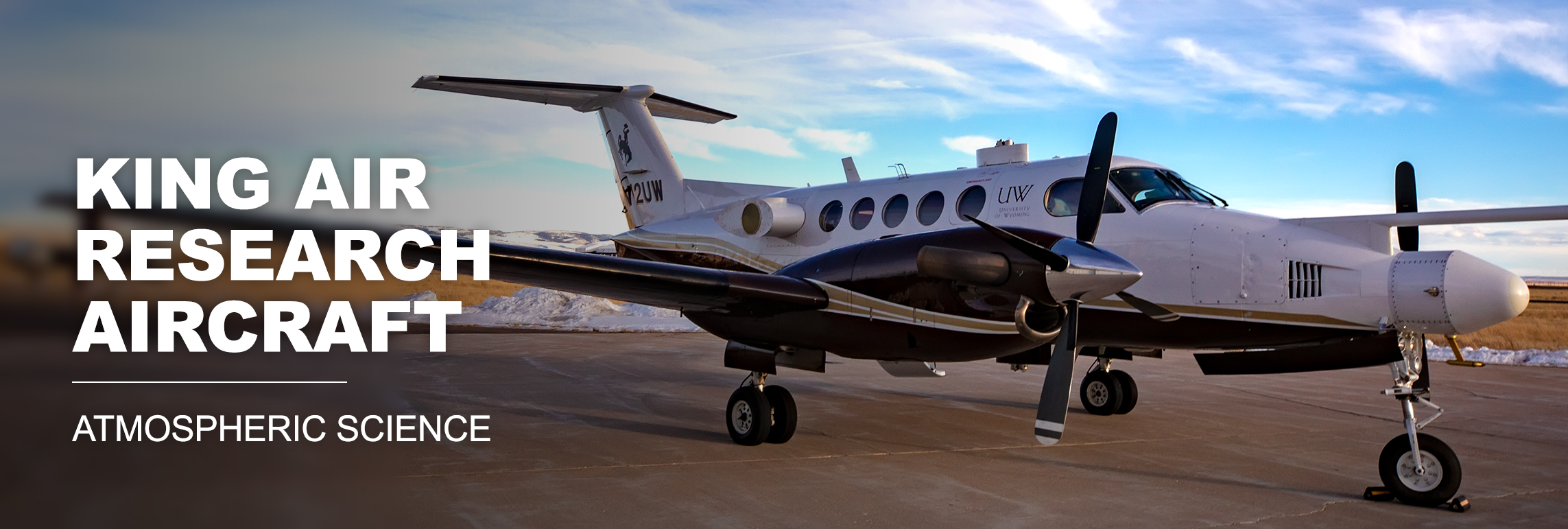
King Air airplane in background with King Air Research Aircraft: Atmospheric Science

WCL Request Guidance


Wyoming Cloud Lidar (WCL) Overview

The University of Wyoming Cloud Lidar (WCL) is an airborne observational system that provides high-resolution cloud and aerosol structures. The WCL includes an up-pointing lidar at a wavelength of 355 nm and a down-pointing lidar at 351 nm, which can be deployed separately or together. The WCL is primarily used as an installation on the Wyoming King Air aircraft; however it has also been used on the NSF/NCAR C-130 aircraft.

Configuration: UWyo King Air and NSF/NCAR C-130 aircraft
Number of available systems: 2 (up- and down-pointing systems requestable separately)

Wyoming Cloud Lidar (WCL) Contact

Dr. Min Deng / mdeng2@uwyo.edu /(307) 766-6334

WCL Operations

To describe weather events during which collection is desired (i.e., clouds, precipitation,aerosol), provide specific information for the radar targets. It will help us consider the capability of the radar to provide quality data for them.

Typical Operating Parameters:

  • Maximum Range: 7 km (Actual data acquisition range is 8km, lidar uses the last 1 km for background and noise calculation)
  • Minimum sampling along the beam: 1.5 m (data sampling rate is 100 MHz)
  • Minimum sampling along the flight track: 5 m for 20 Hz laser pulse repetition rate and about 100 m/s aircraft speed
  • First usable gate: 50 m (after the near range overlap factor correction)

WCL Data Requests

On-site lidar data access:

24-hour access to quicklooks and preliminary processed L0 data during the field project

Standard processed data made available after quality control includes:

  • Level 0 product
    • Parallel and perpendicular channels return power
    • Depolarization ratio
  • Level 1 product
    • Calibrated attenuated backscattering coefficient for parallel channel
    • Lab calibrated depolarization ratio
If these are not sufficient, contact Matt Burkhart to discuss. See this page for more detailed information describing the lidar systems.