Watershed Focus Wind River
The Wind River is one of three watersheds in Wyoming that WyACT focuses on, together
with the Upper Snake River and the Green River. They represent the headwaters and upper drainage basins of three major river systems
(Snake-Columbia, Green-Colorado, and Wind-Bighorn-Missouri Rivers).
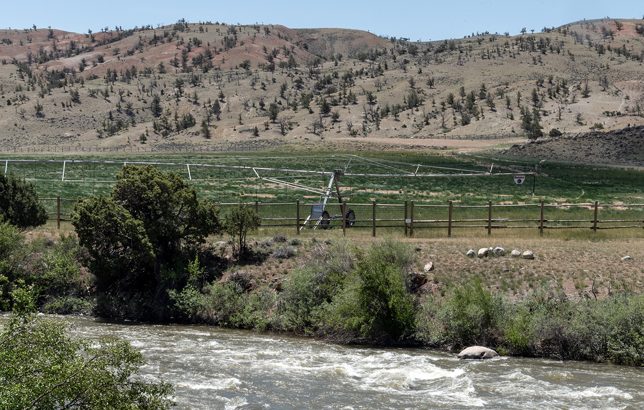
The 185 mile-long Wind River is located entirely within Wyoming. Near Thermopolis
its name changes to Bighorn River, which empties into the Yellowstone and ultimately
contributes to the Missouri. Wyoming’s Wind River Mountain Range also includes the
headwaters for the Green River to the West that flows into the Colorado River. Both
headwaters fall within the 2.2 million acre Wind River Indian Reservation where the
Eastern Shoshone and Northern Arapaho Tribes hold senior water rights. WyACT work
in this area is planned and executed in collaboration with Tribal partners and emphasizes
long-term engagement networks and Tribes as rightsholders. Baseline response function
work has focused on exploration of agricultural responses to changing water availability
and other drivers of change. Further work has the goal of tailoring and defining metrics
specific to Traditional Ecological Knowledge. UW’s High Plains American Indian Research
Institute (HPAIRI) is a key WyACT partner for navigating the work in the Wind River
Indian Reservation.