
Wyoming Geographic Information Science Center (WyGISC)
WyGISC is an interdisciplinary research and service center housed within the School of Computing. The center is focused on the development and education of geospatial information and technologies and their applications. Its mission is to advance the knowledge and application of geographic information science and technology through research, education, and service. WyGISC aspires to become a premier interdisciplinary center in geographic information science research while strengthening our unique leadership role in service and outreach to the university, state, and region.
Data Science Center (DSC)
The Data Science Center will provide an academic hub for data science at UW, providing the key academic component in a "UW Data Science Collaboratory" (DSC, Library, ARCC, WyGISC, WNA, Maker Space, Extension along with disciplinary partners including AHC, INBRE Data Core, WYNDD, RMH, 3D Viz, NSF WyACT, etc).
Connect with UW’s Faculty-Led Computing Labs
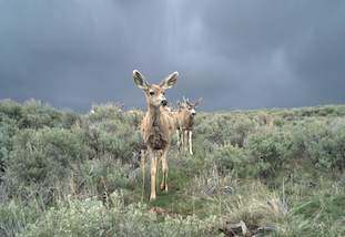
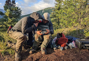
We merge animal tracking, remote sensing, and intensive field research to gain insights into the resource and habitat requirements of wildlife. We also assess emerging threats to critical habitats and work to understand the impacts of habitat change on wildlife behavior and populations.
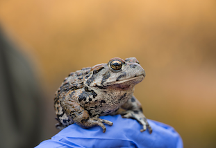
We work at the intersection of disease ecology, population demography, and animal behavior, often employing data science techniques to provide evidence-based solutions to conservation challenges. We also study disturbance ecology, particularly how natural and anthropogenic disturbances influence host-pathogen dynamics.
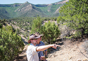
The Field Lab is an interdisciplinary research group dedicated to applying computational and data-driven approaches to complex questions about the human past and present. The lab’s core research integrates remote sensing, data science, and machine learning to investigate patterns of human settlement, mobility, and environmental change across both archaeological and contemporary landscapes.
The Human-Environmental Systems Lab led by Dr. Jake Hawes addresses the challenge of planning and designing systems to be more resilient to natural hazards and in sync with natural and social systems. We are interdisciplinary scholars of coupled human-environmental systems, drawing on theory and methods from planning, geography, and engineering. The lab deploys computing both as a research tool and a research subject, with projects ranging from spatial optimization of local food-energy-water systems to examinations of residents' perspectives on AI's role in rural areas.
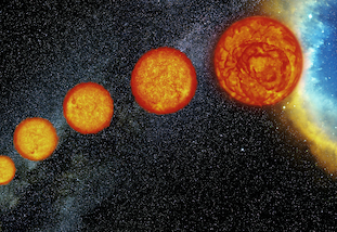
The Joyce Lab specializes in the application of high-performance computing, statistics, and data science techniques to problems in stellar astrophysics, especially stellar structure and evolution, stellar variability, and Galactic archaeology.
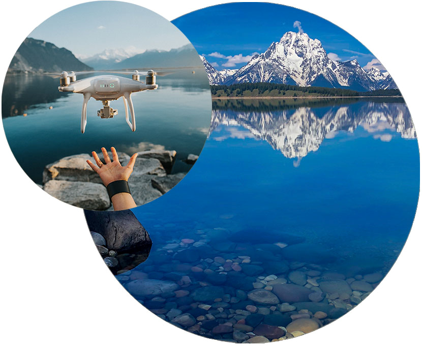
The Koger Lab specializes in designing and using novel imaging and image processing techniques to study natural systems. The lab uses a combination of drone, satellite, and ground-based imagery paired with deep learning detection and tracking algorithms to investigate how animals’ behaviors are influenced by their social and physical environments. The labs current research program is focused on novel methods for monitoring landscapes in the American West and understanding collective navigation and predator-prey dynamics in Pacific salmon ecosystems around Bristol Bay, Alaska.
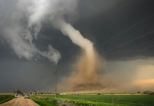
Changing natural disaster risk profiles are already rippling across financial markets and wreaking havoc to ecosystems the human-built environment, disproportionately affecting under-resourced communities. Studying the underpinning atmospheric physical mechanisms which modulate these risks is hampered by the carse resolution (grid lengths of >100 km) of earth system models (ESMs), which are the principle tools used explore how the earth system's varying components (cryosphere, atmosphere, ocean, land-surface, vegetation) interconnect to modulate our day-to-day weather.
The Taylor Lab develops network-based models for complex systems including social,
biological, physical, and technological applications including AI applications and
algorithm development. Projects range from mathematical modeling and theoretical derivations
to applied studies in close collaboration with domain experts.
New photo, too—standby for photo.
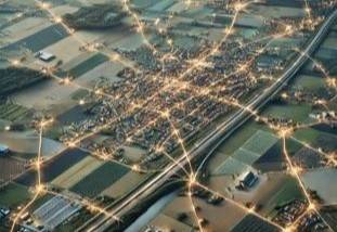
Our lab focuses on geospatial machine learning and spatiotemporal data science to understand human–environment systems. We investigate population mobility and regional dynamics using computational methods, including neural networks, spatial modeling, and large-scale geospatial data integration. Our work supports applications in rural systems, public health, tourism, and transportation, helping inform community planning and policy.
Facility Resources
Data-X Studio
The Data-X Studio, housed in SIB 4030, is a dedicated computation-focused space for data science-oriented collaborative learning and data analytics and visualization.
Learn More About This SpaceThe University of Wyoming has earned its Research Level 1 (R1) status from the Carnegie Classification of Institutions of Higher Education, placing Wyoming's only four-year university with the top research universities in the United States.