
What is Geospatial Information Science?
Our professional M.S. in GIS program teaches students to use the power of location to solve problems. Students will think spatially and learn to manage, visualize and analyze data using spatial software. Experience gained with UW can be applied to many fields of work.
Application Deadline for Spring 2026: November 15
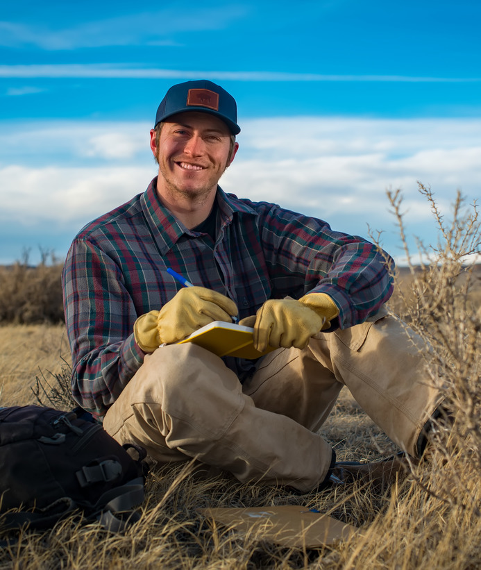
GIS faculty bring years of project experience to UW’s curriculum. Some serve as project coordinators, developers and specialists in the field. Dr. Shannon Albeke is a a Senior Research Scientist who focuses on applied GIS. He teaches students to use open-source software and supports them with research efforts.
Online Learning at UW
The University of Wyoming offers a robust selection of fully online and hybrid programs, including the geospatial information science and technology (professional M.S.) without thesis. These programs maintain the same high standards as their in-person counterparts—featuring identical learning expectations, accreditation and transcripts that do not distinguish between online and on-campus study. Recognizing the unique needs of online learners, we provide a comprehensive suite of academic and student support services designed to help you succeed both during your time at UW and beyond graduation.
Request InfoLearn more about the University of Wyoming's online programming!
What can you do with a Professional M.S. in Geospatial Information Science?
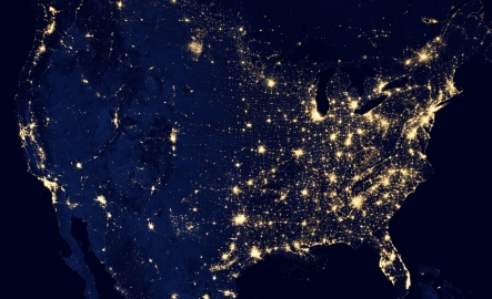
Geospatial Information Science is everywhere. The GIS job market is growing and there is a variety of careers available to professionals who can apply geographic information science.
- Urban Planner
- Mapping Technician
- Pipelayer
- Cartographer
- Geoscientist
- Engineer
- Landscape Architect
- Construction
- Geographer
- Natural Resource Specialist
- Resource Manager
- Surveyor
- Photogrammetrist
- State Parks
- Wyoming Geographic Information Science Center
- Wyoming Geological Survey
- Energy Innovation Center
In the Capstone course, students create a semi-independent geospatial project that applies GIS concepts, tools and methods. Projects are then presented by the students as scientific reports at a geospatial forum.
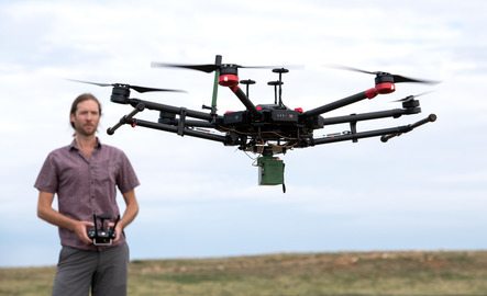
"I pursued this program for a few reasons. I really wanted to dive deeper into programming and become more established as a UAS Pilot. The courses offered in both programming and UAS content allowed me to do that all while continuing employment with Wyoming State Parks. The flexibility of asynchronous courses also really helped make juggling family and work life feasible. The program has been challenging and enjoyable at the same time."
- Jon Cicarelli | Class of 2022
The University of Wyoming has earned its Research Level 1 (R1) status from the Carnegie Classification of Institutions of Higher Education, placing Wyoming's only four-year university with the top research universities in the United States.