
Learn more:
Links to our past and current K-12 activities:
An online PDF flipbook and interactive story map version of award-winning geography
text.
Wyoming Student Atlas
K-6 programming supporting online education during the COVID-19 pandemic.
WTCC WYSTEM
WyomingView article published in PE&RS.
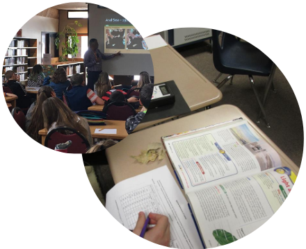
Integrating Landsat images in sixth grade curricula
Other related K-12 geospatial resources:
Advancing the widespread use of remote-sensing data and technology, including K-12
education.
AmericaView Consortium
K12 geospatial resource links.
American Association of Geographers
Facebook site with information on how 4H clubs are doing GIS, GPS and more.
GIS in 4H
Web apps, lessons, data sets and more from the World’s largest GIS software provider.
ESRI K12 Initiatives
To learn more about our K-12 outreach activities:
Contact WyGISC's Outreach Coordinator:
Dr. Ramesh Sivanpillai
The University of Wyoming has earned its Research Level 1 (R1) status from the Carnegie Classification of Institutions of Higher Education, placing Wyoming's only four-year university with the top research universities in the United States.