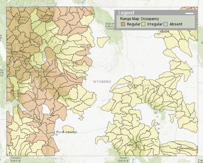
 Range maps are intended to provide an overview, at the statewide and regional scale,
of the general pattern of occupancy for a taxon. Range maps are informed by WYNDD's
occurrence data and are regularly reviewed by statewide experts for accuracy and currentness.
Range maps and other spatial data from WYNDD can be viewed on our Data Explorer page. To download range maps, use the download links in our Species List application.
Please direct questions to WYNDDGIS@uwyo.edu.
View distribution models and other spatial data online:
Data Explorer
Explore spatial data on Wyoming species and habitats, including observations, range maps, and distribution models.
![]()
Download distribution models and other spatial data:
Looking to download spatial data, such as distribution models, from WYNDD? Our Species List application provides download links for range maps, predictive distribution models, and generalized observations.

