
About the Geospatial Information Science and Technology Program
The B.S. in Geospatial Information Science and Technology (GIST) equips students with spatial thinking, data analysis, visualization and remote sensing skills. Once students complete their core curriculum, they progress to advanced geospatial analysis, visualization, data management and elective courses.
All GIST students complete an experiential learning requirement. Students fulfill this requirement through an internship, independent study, or undergraduate research. This ensures all students graduate with real-world experience to kick-start their careers.
What can you do with a geospatial information science and technology degree?
The U.S. Bureau of Labor Statistics predicts a 19% growth in employment for GIST professionals from 2016-2026, which is much faster than average growth (7.5%) in other occupations.
- GIS analyst or technician
- Remote sensing specialist
- Cartographer or mapping technician
- Urban or regional planner
- Environmental consultant
- Geospatial data scientist
- Transportation or logistics planner
- Emergency management analyst
- Natural resource manager
- Geospatial intelligence analyst (GEOINT)
- Land surveyor assistant
- Utility mapping or infrastructure specialist
- And more!
- Federal agencies (e.g., NASA, USGS, NOAA, EPA, NPS, FEMA)
- State, tribal and local governments (planning, transportation, emergency management)
- Military and defense organizations (NGA, DoD)
- Environmental and Engineering consulting firms
- Utility and energy companies (oil and gas, renewable energy, electric and water utilities)
- Technology companies (Esri, Google, Apple, Microsoft)
- Conservation groups (The Nature Conservancy, World Wildlife Fund)
- Precision agriculture companies
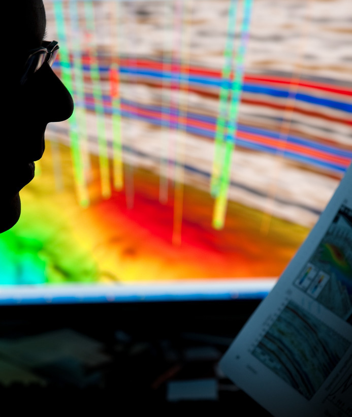
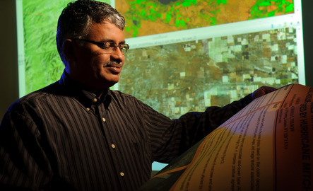
A geospatial information scientist is a professional who collects, analyzes and interprets geographic and spatial data to solve real-world problems. They use tools like Geographic Information Systems (GIS), remote sensing and mapping software to visualize patterns, track changes over time and support decision-making in fields such as urban planning, environmental management, transportation, defense and public health. Their work helps organizations understand the "where" behind complex issues—making location-based data a powerful tool for planning, analysis and innovation.
Why GIS?
Curious about how mapping and spatial data shape the world around us? Watch our short video to discover why studying GIS (Geographic Information Systems) is a smart move for students interested in technology, the environment, planning, public health and more. Find out how GIS connects data with real-world impact—and where it can take your career.
"One of the things I enjoy about the GIST major at UW is the potential for collaboration with students from other majors and disciplines. GIS is everywhere - it can be applied to any industry or field that deals with geographically distributed data in some way. As a GIS undergrad, I've worked alongside students majoring in agriculture, biology, computer science, journalism, political science, civil engineering, criminal justice and military science/ROTC, to name a few. It's helped broaden my horizons significantly."
- Korrin Sutherburg | B.S. in GIST Student
The University of Wyoming has earned its Research Level 1 (R1) status from the Carnegie Classification of Institutions of Higher Education, placing Wyoming's only four-year university with the top research universities in the United States.