

About the Geographic Information Systems Certificate
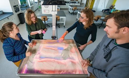
The GIS certificate program gives UW students the opportunity to add geospatial training to their degrees. Through the curriculum, students learn how to build maps, analyze spatial data and answer key geographic questions. This certificate requires 10 credit hours (3 courses) and may be added to any major.
This certificate can be added to any major using the change of major form available on the registrar office's website.

What can you do with a GIS certificate?
Geographic Information Systems power navigation tools, construction, location tracking, real estate strategy, weather tracking and many other technologies that individuals and companies use on a daily basis. Our graduates are prepared for a variety of careers in geography, technology and engineering, among others.
A certificate in Geographic Information Systems (GIS) can open doors to a variety of jobs that involve spatial data analysis, mapping and geospatial technologies. Here are some common roles:
- GIS Technician
- GIS Analyst
- Cartographer
- Remote Sensing Specialist
- Urban or Regional Planner
- Environmental Consultant
- Surveying or Mapping Technician
- Transportation Planner
- Utility GIS Specialist
- Emergency Management GIS Coordinator
GIS skills are used across industries like environmental science, urban planning, public health, agriculture, transportation and energy—so the job possibilities are broad and growing.
- Federal agencies (e.g., NASA, USGS, NOAA, EPA, NPS, FEMA)
- State, tribal and local governments (planning, transportation, emergency management)
- Military and defense organizations (NGA, DoD)
- Environmental and Engineering consulting firms
- Utility and energy companies (oil and gas, renewable energy, electric and water utilities)
- Technology companies (Esri, Google, Apple, Microsoft)
- Conservation groups (The Nature Conservancy, World Wildlife Fund)
- Precision agriculture companies
If you’re into maps, data and making a real-world impact, GIS is a smart career move. From tracking wildfires and planning cities to analyzing traffic patterns and protecting natural resources, GIS pros are in demand across tons of industries. It's a future-focused field where tech meets problem-solving—and your skills can lead to exciting, meaningful work all over the world.
Advance Your Career with GIS Expertise
Demand for GIS professionals is on the rise—and our certification puts you at the center of it all. Rooted in geospatial science, this program prepares students for careers in urban planning, emergency services, and beyond.
The University of Wyoming has earned its Research Level 1 (R1) status from the Carnegie Classification of Institutions of Higher Education, placing Wyoming's only four-year university with the top research universities in the United States.