
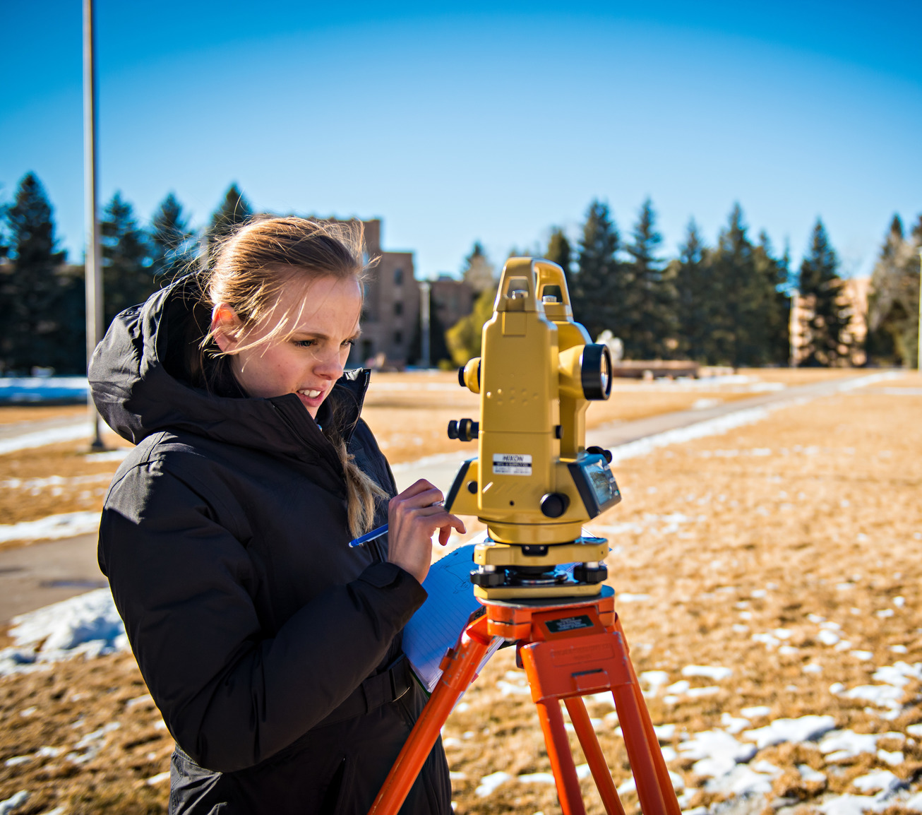
About Cadastral & Land Surveying
Explore tailored options based on your educational background:
Cadastral Survey Certificate
The Cadastral Survey Certificate emphasizes boundary law, particularly as it pertains to the Western United States. Offered 100 percent online, the UW program gives you the preparation and educational requirements necessary for the Fundamentals of Surveying Exam.
Land Surveying Minor
In states requiring a bachelor’s degree for licensure, you can attach the land surveying minor to UW’s Bachelor of Applied Science in Organizational Leadership degree that’s also available online or any University of Wyoming bachelor's degree.

If you already have earned a degree, our online land surveying program can provide you with the courses you need to complete the academic requirements of your jurisdiction for licensure.
Online Learning at UW
The University of Wyoming provides a comprehensive range of fully online and hybrid programs in addition to the land surveying minor and the cadastral surveying certificate. They are equivalent to in-person programs in all the ways that matter – same learning expectations, same accreditation and your transcript doesn’t differentiate how you learned. Additionally, online learners have unique needs, and we provide a suite of academic and student resources tailored to help you succeed while at UW and after you graduate.
Request InfoLearn more about the University of Wyoming's online programming!
What Can You Do With a Certificate in Land Surveying?
Demand is high for licensed land surveyors. Your UW land surveying certificate or minor puts you on the path to pursue licensure as a professional land surveyor.
Here are just a few settings where University of Wyoming land surveying alumni are working:
- R&R Engineers-Surveyors Inc.
- S. Fish and Wildlife Service
- Witness Tree Forestry and Surveying LLC
- Schofield, Barbini and Hoehn Inc
- Cache Landmark Engineering
- Civic Engineering and IT Inc.
According to the U.S. Bureau of Labor Statistics (BLS), there were about 46,000 individuals employed as surveyors in the United States in May 2020. The BLS anticipates a 2% increase in employment opportunities for land surveyors from 2020 to 2030.
Land surveying is the science of measuring and mapping the physical features of the earth. Surveyors use tools and technology to determine distances, angles and elevations to create accurate maps and plans. Land surveying is essential for construction, engineering and land development projects.
Cadastral surveying is a specialized type of land surveying that focuses on defining and documenting legal property boundaries. It involves creating records that show land ownership, parcel size and boundary lines, which are used for deeds, land titles, property taxation and resolving disputes.
Both programs are excellent! The one you choose ultimately should depend on your jurisdiction for licensure.
"Everyone has been great to work with—from the folks in the local office here to the instructors. It wasn’t easy to go back after so many years, but it’s been a great experience, thanks to these people."
- Gary Wilder | Certificate in Land Surveying ’14
The University of Wyoming has earned its Research Level 1 (R1) status from the Carnegie Classification of Institutions of Higher Education, placing Wyoming's only four-year university with the top research universities in the United States.