A hand holding a compass infront of a beach, windmills, and a city at night seen from an airplane.

GIST Undergraduate Programs


The B.S. in Geospatial Information Science and Technology (GIST) will allow you to combine proficiency in spatial thinking and geospatial data science analysis with fluency in geographic information systems, remote sensing, data analytics, and visualization. Once you complete the degree, you will be prepared to apply your geospatial knowledge and skills in a wide range of fields, from environmental management and public health, to civil engineering and urban planning, to economic analysis and marketing.


Looking for a way to add geospatial expertise to your resume? 9-10 credit certificates in GIS or remote sensing give you paths for gaining geospatial experience to enhance your prospects in the job market while teaching you skills that you can apply to any major. The GIS certificate includes courses in GIS software and analysis, spatial data visualization, and programming to give you foundational skills in these important subjects. The remote sensing certificate teaches you how to analyze and extract information from digital images and you can explore specific remote sensing applications and platforms, including drones, with targeted elective courses. WyGISC also offers many undergraduate GIST courses for students interested in specific aspects of geospatial science.


ENROLL NOW
 
ABOUT UW


TUITION/FEES
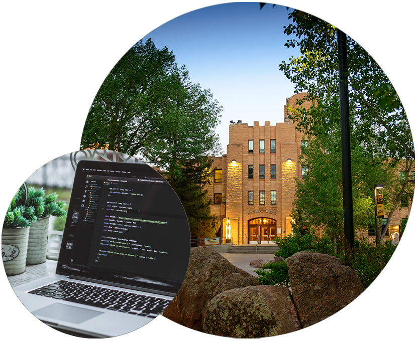
A computer with code, and a building.


Icon of a graduation cap.

Geospatial Information Science and Technology, B.S.

The B.S. in GIST provides a quality educational experience that combines proficiency in spatial thinking and geospatial data science analysis with fluency in geographic information systems, remote sensing, and visualization.

This degree requires [120] credits, [42] of which are upper-division credits.


Icon of a certificate and a GIS app.

Geographic Information Systems (GIS) Undergraduate Certificate

A Geographic Information System (GIS) is at the core of geospatial science, providing the tools and methods for collecting, managing, and analyzing spatial data. A modern GIS is powerful; it can be used to ask and answer questions about geographic phenomena on your laptop, online, or in high-performance computing environments. A GIS can be used to make simple or complex maps (cartography), to build and analyze complex spatial networks, or to combine spatial data layers to answer questions across geographic scales in science, engineering, business, and the humanities.

This certificate can be added to any major using the Change of Major form available at the Registrar’s Office Online Forms and Petitions site.

Required courses:

  • GIST 2190  - Introduction to Programming in Geospatial Information Science and Technology (Credits: 3)

  • GIST 2200  - Spatial Data Visualization (Credits: 3)

  • GIST 2310  - Intro to Geographic Information Systems (Credits: 4)


Icon of a satellite.

Remote Sensing Undergraduate Certificate

The undergraduate certificate in Remote Sensing provides opportunities for students to add training in how to use and interpret imagery acquired from aircraft, satellites, or ground-based platforms. The Remote Sensing certificate has one required 3-credit course plus electives for a total of 9 credits.

This certificate can be added to any major using the Change of Major form available at the Registrar’s Office Online Forms and Petitions site.

Core Requirements (3 credits):

  • GIST 3140  - Introduction to Remote Sensing (Credits: 3)

- OR one of the following courses -

  • GIST 4130  - Applied Remote Sensing (Credits: 3)

  • PLNT 4130  - Applied Remote Sensing (Credits: 3)

  • REWM 4130  - Applied Remote Sensing (Credits: 3)


Electives (6 credits):

  • Any remote sensing or UAS courses (6 credits)


Icon of a mouse cursor and a page.

How to Sign-up for a Certificate

  1. To sign up to earn undergraduate certificates in GIS or remote sensing, fill out a Change of Major form available from the UW Registrar's Office.
  2. Check the "Add a Certificate Program" box and fill in the other information.

You will need signatures from your advisor, the department head for your current major, and from the WyGISC GIST Program Director, Beth McMillan (Ag C Room 331) or designee. 


Careers for students earning certificates in GIST

GIST allows successful students to work for private companies and local, state, and federal agencies using spatial data to answer questions about many disciplines, from wildlife management to marketing to energy development.

  • GIS Technician

  • Cartographic Technician

  • GIS Analyst

  • Cartographer

  • Remote Sensing Analyst

  • GIS Administrator


Courses students take in the GIST undergraduate program:

The School of Computing's GIST program offers courses and certificates in GIS, remote sensing, programming, data visualization, and UAS (drones) under the GIST course prefix, giving you the opportunity to learn geospatial fundamentals or to dive deeper into this growing field with specialized courses.

If you earn a certificate, you add valuable geospatial knowledge to your degree, or you can also choose to take targeted individual courses that are especially relevant to your studies. In either case, geospatial expertise will enhance your prospects in this growing job market.

School of Computing Academic Programs >


Have questions or want to find out more?

Contact our GIST program advisor:

Beth McMillan
gist@uwyo.edu
307-766-2532

Follow WyGISC - GIST:

Facebook icon Instagram icon LinkedIn icon

Contact the School of Computing

Engineering Building, Room 4083
Dept. 3395
1000 E. University Ave.
Laramie, WY 82071

Phone: +1 (307) 766-5299
Email: uwyo-soc@uwyo.edu

Follow School of Computing

Facebook icon Instagram icon LinkedIn icon YouTube icon


Subscribe to the School of Computing's Email List