|
|
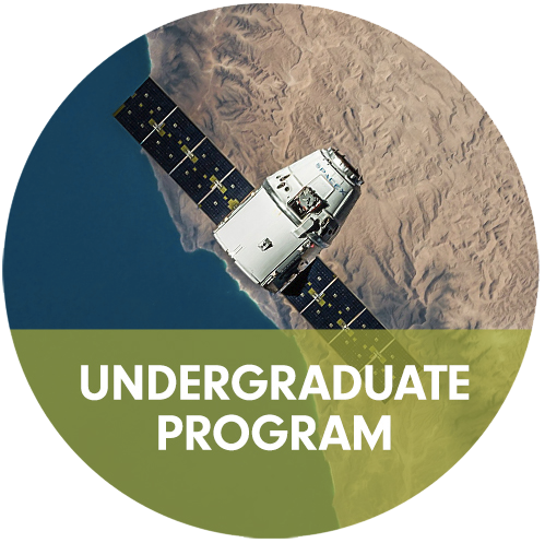
The School of Computing offers on-campus 9-credit certificates in GIS and remote sensing and a Bachelor’s degree in GIST. LEARN MORE: |
|
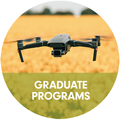
The School of Computing offers an online professional master’s degree and three graduate certificates in GIS, remote sensing, and Unmanned Aerial Systems (UAS).LEARN MORE: |
Learn more about our community
|
|
The University of Wyoming, founded in 1886, is a nationally recognized land-grant research institution with expert faculty, top-ranked academics and world-class facilities. Take advantage of small class sizes and supportive professors while you explore the 30 miles of groomed cross-country ski trails, 300 miles of snowmobiling trails and more than 100 miles of mountain bike trails, plus fishing, rock climbing, 2.9 million acres of national forest and more. Outdoor magazine recognized UW as one of the nation’s top outdoor schools.
|