Digitized Materials
The Hebard Historic Map Collection is primarily a collection of published maps about Wyoming and the Rocky Mountain West.
- John M. Hill Maps and Drawings Collection
- Maps by local surveyor ranging outward from Laramie, Wyoming (date range: 1930s-1990s)
- Highway maps
- Wyoming and contiguous states
- National Forest Maps
- Wyoming and the Rocky Mountain West
- Sanborn Fire Insurance Maps
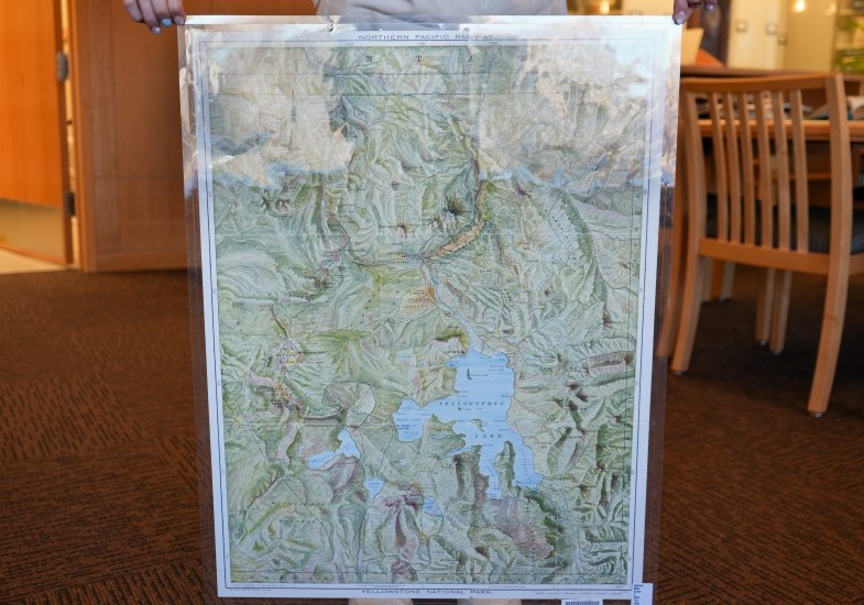
- Topographic Maps
- From the USGS; including 7.5', 15', 30', 60', and larger maps for Wyoming, contiguous states, and western national parks
- Wyoming Geological Survey Publications, including maps
- GLO & BLM Survey Pats & Field Notes
- Includes images of the Public Land Survey System for Wyoming
Hebard Room History
Librarian Reba Davis (1919-1929) designated a Hebard Room in the then-new University Library Building (now the Aven Nelson Building) in 1924. Named in honor of Librarian Emeritus and historian, Grace Raymond Hebard, this space housed a small, but growing book collection on Wyoming history. Much of the original material in the collection was collected and preserved by Dr. Hebard, including a complete file of University of Wyoming Original Hebard Room publications; as complete a file of Wyoming State publications as possible; and books on Wyoming and Western U.S. history.
The will of Dr. Hebard, who died October 11, 1936, directed that all of her historical material-books, maps, photographs, and files-be donated to the University. The published materials were added to those already housed in the Hebard Room, while the manuscript materials became the basis for the University Archives, today known as the American Heritage Center.