Contact Us
Heather Chandler
Office Associate, Senior
School of Energy Resources
1000 E. University Ave.
Dept. 3012
Laramie, Wyoming 82071
Phone: (307) 760-3721
Email: hchandl2@uwyo.edu
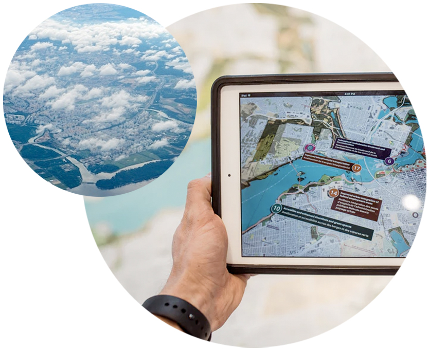
Geospatial knowledge is in high demand with employers and is particularly important in energy development. Geographic Information Systems (GIS) and remote sensing technologies are used throughout the energy industry including:
Siting new generation facilities including wind farms and solar arrays
Establishing routes for transmission and distribution lines
Assessing social and environmental impacts
Creating energy resource market scenarios
Monitoring assets including pipelines and power lines
With the addition of under 12 credit hours, students can add an undergraduate certificate in GIS or remote sensing. The Wyoming Geospatial Science Center hosts the program.
Contact Us
Heather Chandler
Office Associate, Senior
School of Energy Resources
1000 E. University Ave.
Dept. 3012
Laramie, Wyoming 82071
Phone: (307) 760-3721
Email: hchandl2@uwyo.edu